NSW Topographic Maps
New South Wales government topographic maps are produced by Land and Property Information (LPI) Division of NSW Department of Lands and cover the whole state. Three scales are used; broadly speaking, the Eastern third of the state is covered at 1:25,000 scale maps, the central third is 1:50,000 scale maps and the West of the state is under 1:100,000 scale mapping. We can supply all these so if the map you are looking for is not listed just send us an email or give us a call and we will help you.
States Topographic Maps
Carto Graphics Blog
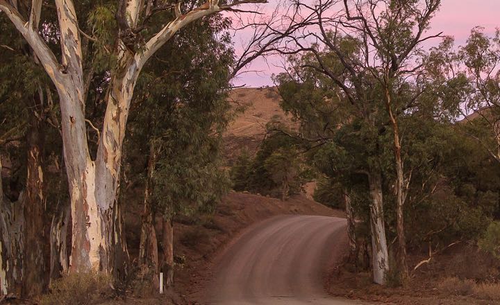
10 Best Campsites Close To Adelaide
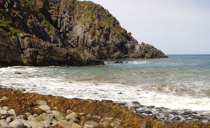
10 Best Campsites In Brisbane And Surrounds
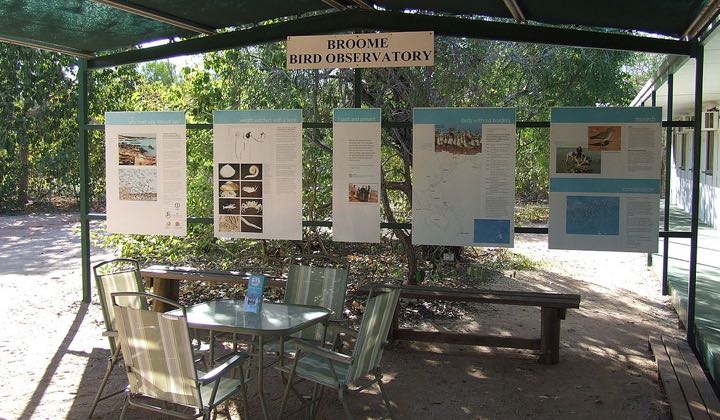
Best Birdwatching Spots In Australia

Ten Things to do in Australia
