Barrallier Topographic Map - 8929-3N
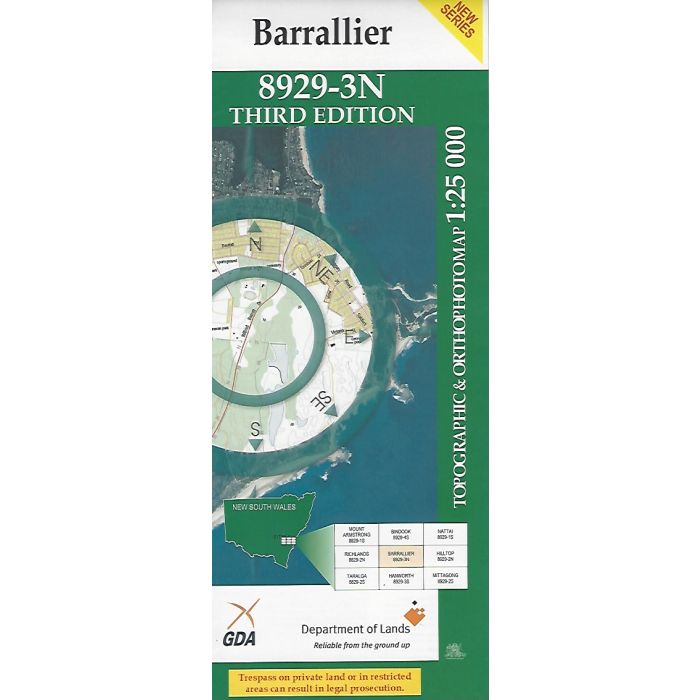
Barrallier, 8929-3N, 1:25,000 scale topographic map covering Wombeyan Caves Road and Wollondilly River with adjacent Nattai and Blue Mountainsi National Parks. Orthophoto map image on reverse side.
In stock
SKU
8929-3N
$16.70


Related Products
Check items to add to the cart or

| Publisher | LPI |
|---|---|
| Description | Barrallier 1:25,000 scale topographic map and orthophoto, 8929-3N, 3rd edition, 2005. |
Write Your Own Review