Abercrombie Topographic Map - 8730-S
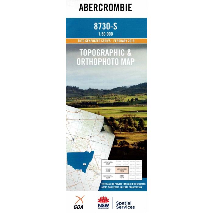
Abercrombie, 8730-S, 1:50,000 scale topographic map covering the Abercrombie caves area, Lake Wyangala upper reaches along Lachlan and Abercrombie Rivers, Trunkey Creek and surrounding state forests and reserves. Orthophoto map image on reverse side.
In stock
SKU
8730-S
$16.70


Related Products
Check items to add to the cart or
| Publisher | LPI |
|---|---|
| Description | Abercrombie topographic map and orthophoto, 8730-S, 1:50,000 scale, NSW Spatial Services, 2019. This map may be laminated for extra durability in the field. |
Write Your Own Review