1:50000 Folded
South Australia state government 1:50,000 scale mapping cover the more-densely settled areas of the state. Each map covers an area 15minutes Latitude and Longitude square (approximately 22km wide by 25km high) plus marginal notes. Currency ranges from late 1980s to early 2000s with the newer editions based on GDA94 (equivalent to WGS84). Get yourself a topographic map of 1:50000 fold from a wide range to choose from. Order now and get it delivered at your doorstep in no time.
States Topographic Maps

Shop By
Shopping Options
Carto Graphics Blog
10 Best Campsites Close To Adelaide
10 Best Campsites In Brisbane And Surrounds
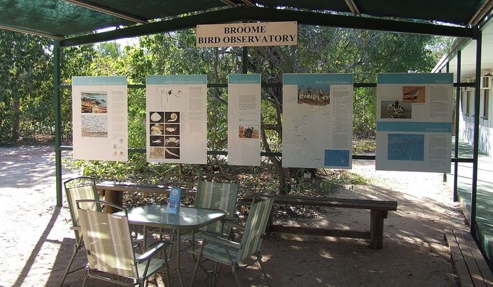
Best Birdwatching Spots In Australia

Ten Things to do in Australia
