Coricudgy Topographic Map - 8932-2N LPI 1:25k
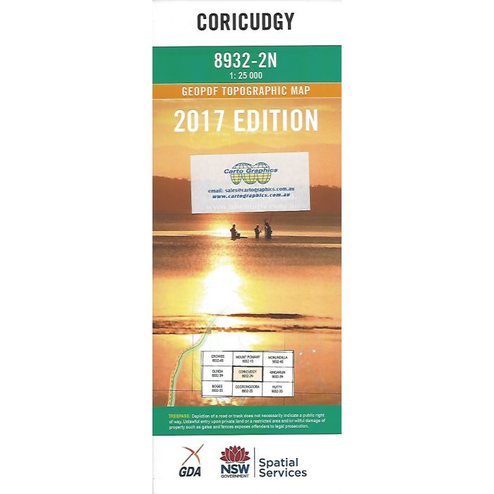
Coricudgy, 8932-2N, 1:25,000 scale topographic map covering section of Wollemi National Park and Coricudgy State Forest across the Great Dividing Range including Cudgegong River headwaters, Hunter Main Trail and Kerry Track.
In stock
SKU
8932-2N
$16.70


Related Products
Check items to add to the cart or


| Publisher | LPI |
|---|---|
| Description | Coricudgy 1:25,000 scale topographic map, 8932-2N, 2017 Geopdf edition, LPI NSW. Topographic map covering section of Wollemi National Park and Coricudgy State Forest across the Great Dividing Range including Cudgegong River headwaters, Hunter Main Trail and Kerry Track. This map can be laminated and refolded for extra durability in the field. |
Write Your Own Review