Coorongooba Topographic Map - 8932-2S
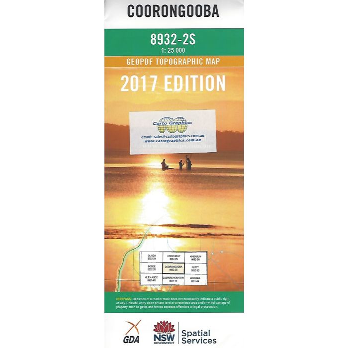
Coorongooba 1;25,000 scale NSW topographic map, 8932-2S, covering parts of Wollemi National Park and Coricudgy State Forest including Koondah Creek headwaters, Mount Boonbourwa, Wollemi Range Track and part of Bicentennial National Trail.
In stock
SKU
8932-2S
$16.70


Related Products
Check items to add to the cart or

| Publisher | LPI |
|---|---|
| Description | Coorongooba 8932-2S topographic map, 1:25,000 scale, NSW LPI, 2017 Geopdf edition. This map can be laminated and refolded for extra durability in the field. |
Write Your Own Review