Mount Pomany 25k Topographic Map - 8932-1S
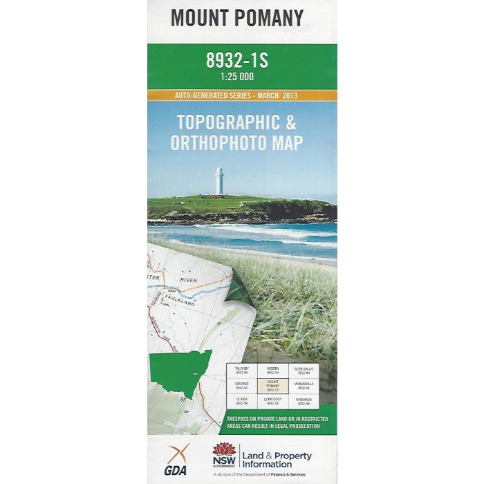
Mount Pomany, 8932-1S, 1:25,000 scale (4cm=1km) topographic map covering section of Widden Brook and Wollemi National Park including Hool 'Em Boy Track, Widden Trail and Blackwater Creek Trail. Orthophoto map image on reverse side.
In stock
SKU
8932-1S
$16.70


Related Products
Check items to add to the cart or

| Publisher | LPI |
|---|---|
| Description | Mount Pomany, 1:25,000 scale topographic map and orthophoto, 8932-1S, LPI NSW, 2013. |
Write Your Own Review