Kindarun Topographic Map - 9032-3N
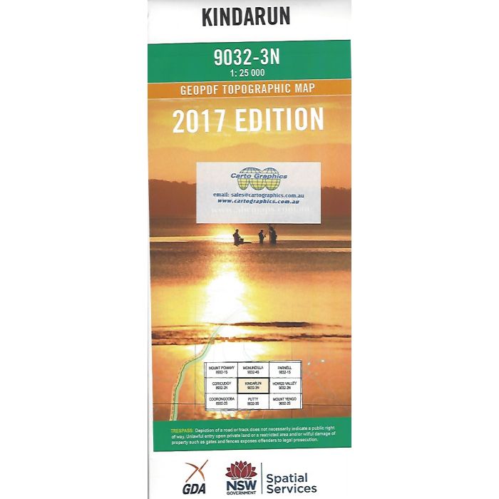
Kindarun, 9032-3N, 1:25,000 scale topographic map covering Putty State Forest, MacDonald River headwaters and a section of Wollemi National Park including Baxter Junction and Mellong Range Trail to Hunter Main Trail.
In stock
SKU
9032-3N
$16.70


Related Products
Check items to add to the cart or

| Publisher | LPI |
|---|---|
| Description | Kindarun 1:25,000 scale topographic map, 9032-3N, 2017 geopdf edition, LPI NSW. This map can be laminated and refolded for extra durability in the field. |
Write Your Own Review