Wollar Topographic Map - 8833-2N
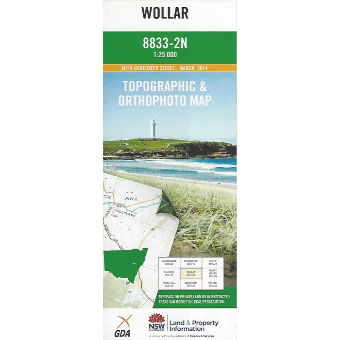
Wollar, 8833-2N, 1:25,000 scale topographic map covering parts of Munghorn Gap Nature Reserve and Goulburn River National Park and adjacent area including Moolarben, Wilpinjong and Wollar Creek valleys. Orthophoto map image on reverse side.
In stock
SKU
8833-2N
$16.70


Related Products
Check items to add to the cart or
| Publisher | LPI |
|---|---|
| Description | Wollar 1:25,000 scale topographic map and orthophoto, 8833-2N, 2014, LPI NSW. |
Write Your Own Review