Munghorn Topographic Map - 8833-2S
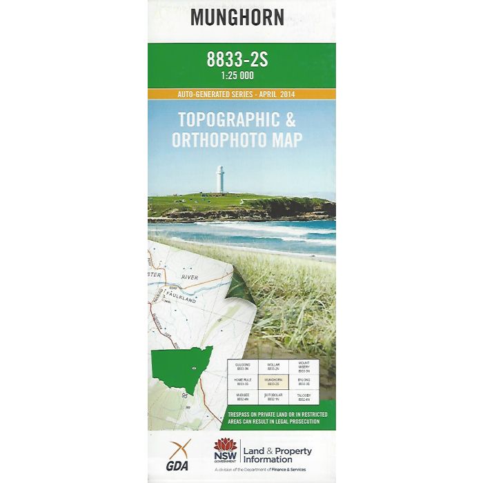
Munghorn, 8833-2S, 1:25,000 scale NSW topographic map covering Munghorn Gap Nature Reserve and surrounding area including Cooyal and Wollar Creek valleys, Castle Rocks Trail and Razorback Ridge. Orthophoto map image on reverse side.
In stock
SKU
8833-2S
$16.70


Related Products
Check items to add to the cart or
| Publisher | LPI |
|---|---|
| Description | Munghorn 1:25,000 scale topographic map and orthophoto, 8833-2S, LPI NSW, 2014. |
Write Your Own Review