Mount Misery Topographic Map - 8933-3N
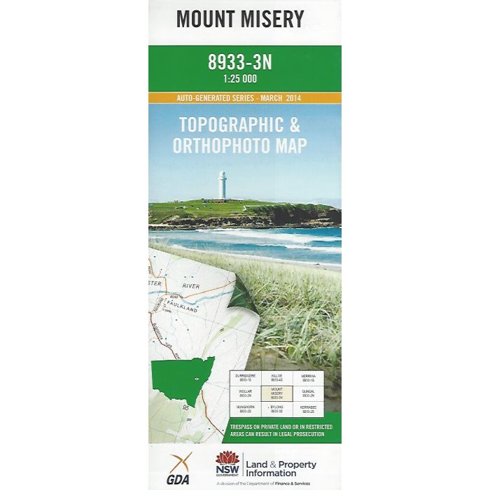
Mount Misery, 8933-3N, 1:25,000 scale NSW topographic map covering Goulburn River National Park (part) including Mogo, Lees Pinch, Meads Crossing and Bow River. Orthophoto map image on reverse side.
In stock
SKU
8893-3N
$16.70

Related Products
Check items to add to the cart or
| Description | Mount Misery 1:25,000 scale topographic map and orthophoto, 8933-3N, 2014, LPI NSW. |
|---|
Write Your Own Review