Lavender Federation Trail Map 3
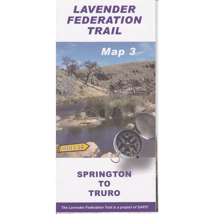
Lavender Federation Trail Map 3
This map covers 54km of the main walk from Springton to Truro, plus the Springton, Eden Valley, and Moculta Loops, all in 1:50,000 scale topographic map detail with track notes and elevation profile.
In stock
SKU
LFT3
$9.95

Related Products
Check items to add to the cart or


| Description | Lavender Federation Trail Map 3 - Springton to Truro The Lavender Federation Trail is a long distance walking trail highlighting the eastern Mount Lofty Ranges. This map covers 54km of the main walk plus the Springton, Eden Valley, and Moculta Loops in 1:50,000 scale topographic map detail. |
|---|
Write Your Own Review