Lavender Federation Trail Map 6
Lavender Federation Trail Map 6
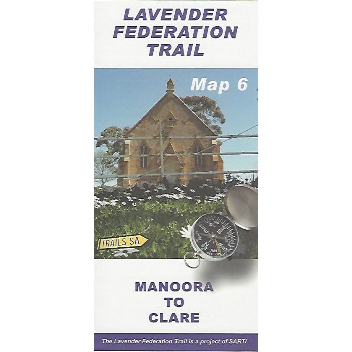
This map covers the northern 56km of the walk in 1:50,000 scale topographic detail from Manoora to Clare across across the Manoora Plain to Mintaro then joining the Riesling Trail at Watervale. Diverge into Spring Gully Conservation Park and then into Clare. Map includes elevation profile and track notes.
In stock
SKU
LFT6
$9.95

Related Products
Check items to add to the cart or

| Description | Lavender Federation Trail Map 6 - Manoora to Clare. The Lavender Federation Trail is a long distance walking trail highlighting the eastern Mount Lofty Ranges in South Australia. This map covers the northern 59km of the walk in 1:50,000 scale topographic map detail. Published by SARTI, South Australian Recreational Trails Inc. |
|---|
Write Your Own Review