Lavender Federation Trail Map 1
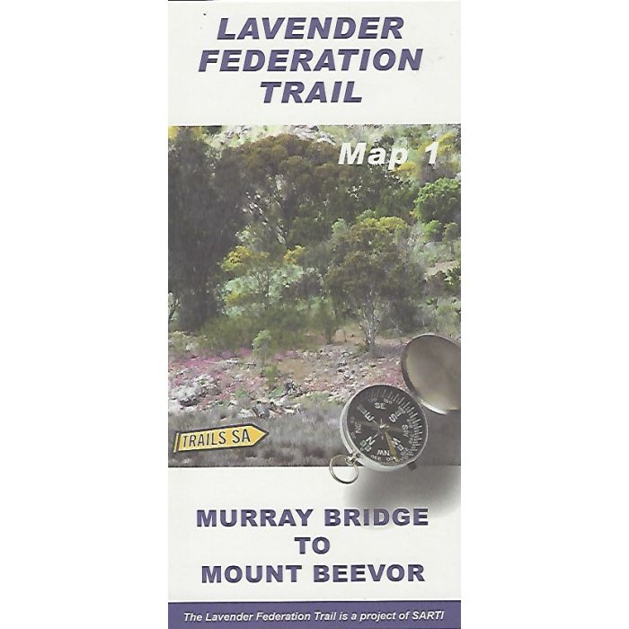
Lavender Federation Trail Map 1
This map covers the southern 56km of the walk in 1:50,000 scale topographic detail from Murray Bridge to Mount Beevor, with elevation profile and track notes. Revised 2nd edition with added side tracks.
In stock
SKU
LFT1
$9.95

Related Products
Check items to add to the cart or

| Description | Lavender Federation Trail Map 1 - Murray Bridge to Mount Beevor. The Lavender Federation Trail is a long distance walking trail highlighting the eastern Mount Lofty Ranges in South Australia. This map covers the southern 56km of the walk in 1:50,000 scale topographic detail. Published by SARTI, South Australian Recreational Trails Inc. |
|---|
Write Your Own Review