Gungal Topographic Map - 8933-2N
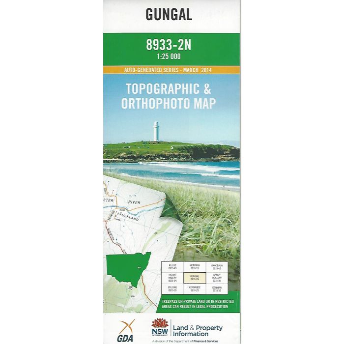
Gungal, 8933-2N, 1:25,000 scale topographic map covering part of Goulburn River National Park in NSW including Worondi Rivulet, Death Adder Rock Trail and Merriwa River Trail. Orthophoto map image on reverse side.
In stock
SKU
8933-2N
$16.70


Related Products
Check items to add to the cart or
| Publisher | LPI |
|---|---|
| Description | Gungal 1:25,000 scale topographic map and orthophoto, 8933-2N, 2014, NSW LPI. |
Write Your Own Review