Kerrabee Topographic Map - 8933-2S
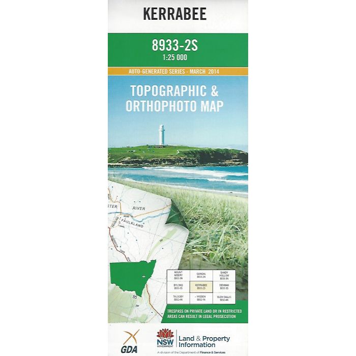
Kerrabee, 8933-2S, 1:25,000 scale topographic map covering Kerrabee Creek, Baerami Creek and Widden Brook valleys, Goulburn River and adjacent Wollemi and Goulburn River National Parks. Orthophoto map image on reverse side.
In stock
SKU
8933-2S
$16.70


Related Products
Check items to add to the cart or
| Publisher | LPI |
|---|---|
| Description | Kerrabee 1:25,000 scale topographic map and orthophoto, 8933-2S, 2014, LPI NSW. |
Write Your Own Review