Gowan Topographic Map - 8731-1S
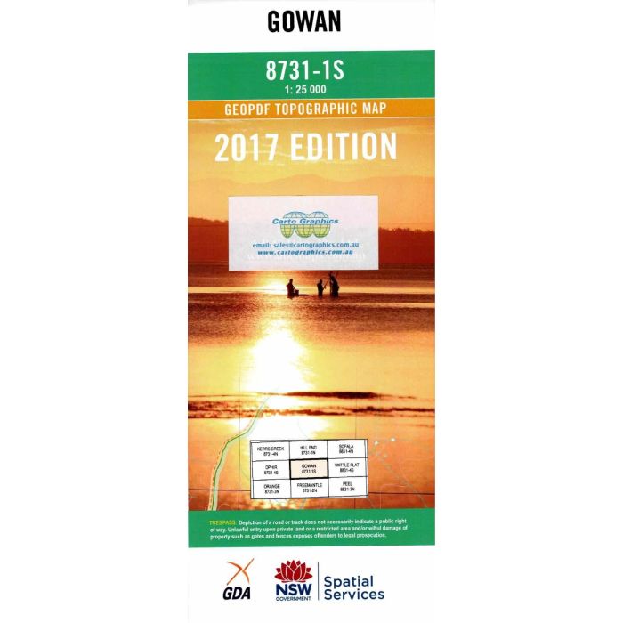
Gowan, 8731-1S, 1:25,000 scale NSW topographic map covering the NSW Central Tablelands area between Lewis Ponds Creek and MacQuarie River including Bruinbun, Killongbutta, Gowan, Lower Lewis Ponds, Girralang Nature Reserve and Freemantle Nature Reserve.
In stock
SKU
8731-1S
$16.70


Related Products
Check items to add to the cart or


| Publisher | LPI |
|---|---|
| Description | Gowan 1:25,000 scale topographic map, 8731-1S, 2017 geopdf edition, Spatial Services NSW. This map may be laminated for extra durability in the field. |
Write Your Own Review