Hill End Topographic Map - 8731-1N
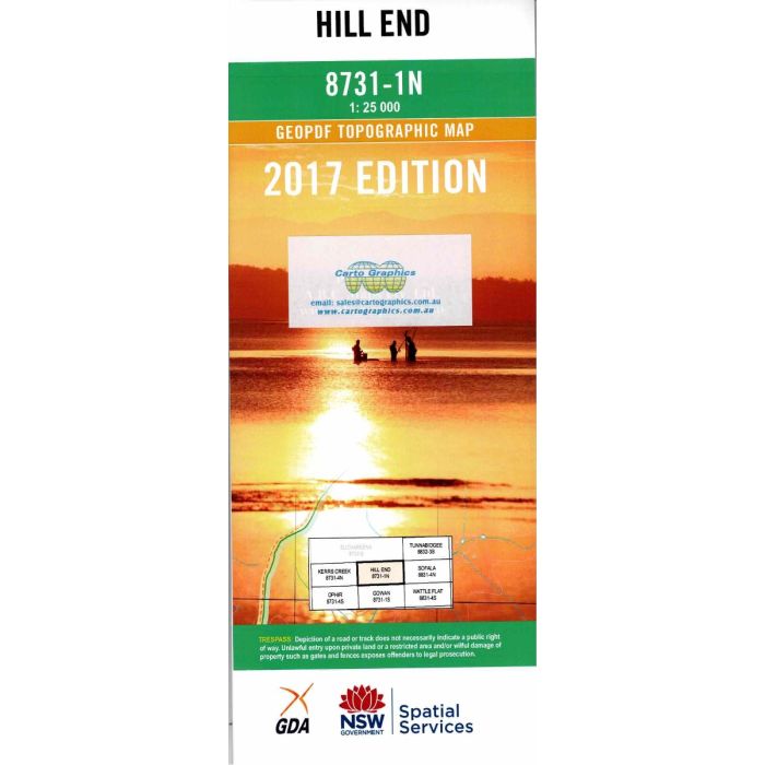
Hill End, 8731-1N, 1:25,000 scale topographic map covering Hill End village and surrounding goldfields, Turon & Macquarie River valleys, The Bridle Track and Dixons Long Point.
In stock
SKU
8731-1N
$16.70


Related Products
Check items to add to the cart or

| Publisher | LPI |
|---|---|
| Description | Hill End 1:25,000 scale topographic map, 8731-1N, 2017 Geopdf edition, NSW Spatial Services. This map may be laminated for extra durability in the field. |
Write Your Own Review