Freemantle 25k Topographic Map - 8731-2N
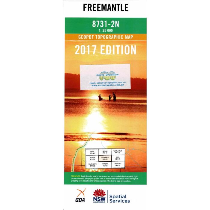
Freemantle, 8731-2N, 1:25,000 scale topographic map covering an area between Orange and Bathurst, NSW, including Byng, Lewis Ponds, MacQuarie River, Freemantle, Billywillinga and Watton.
In stock
SKU
8731-2N
$16.70


Related Products
Check items to add to the cart or
| Publisher | LPI |
|---|---|
| Description | Freemantle 1:25,000 scale topographic map, 8731-2N, 2017 Geopdf edition, NSW Spatial Services. |
Write Your Own Review