Vittoria Topographic Map - 8731-2S
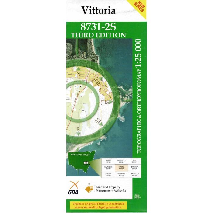
Vittoria 8731-2S, 1:25,000 scale topographic map covering an area in Central West NSW between Bathurst and Orange including Dunkeld, Evans Plains, Vittoria State Forest and Belubula River headwaters. Orthophoto map image on reverse side.
In stock
SKU
8731-2S
$16.70


Related Products
Check items to add to the cart or
| Publisher | LPI |
|---|---|
| Description | Vittoria 1:25,000 scale topographic map and orthophoto, 8731-2S, 3rd edition, 2010, NSW LPI . This map may be laminated for extra durability in the field. |
Write Your Own Review