Mount Yengo Topographic Map - 9032-2S
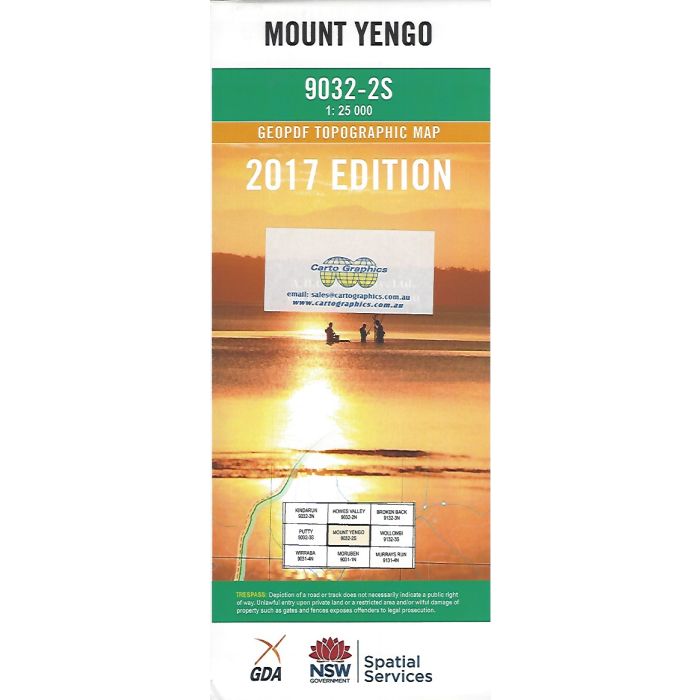
Mount Yengo, 9032-2S, 1:25,000 scale topographic map covering Yengo National Park from Hunter Range across MacDonald River to Putty Road, New South Wales.
In stock
SKU
9032-2S
$16.70


Related Products
Check items to add to the cart or
| Publisher | LPI |
|---|---|
| Description | Mount Yengo 1:25,000 scale topographic map, 9032-2S, 2017 Geopdf edition, LPI NSW. |
Write Your Own Review