Wollombi Topographic Map - 9132-3S
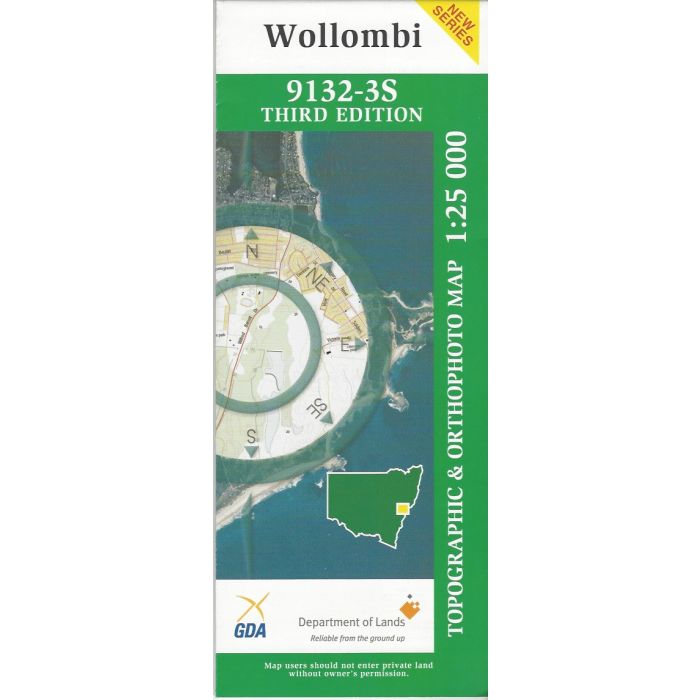
Wollombi, 9132-3S, 1:25,000 scale topographic map covering Wollombi Brook and village, Yengo National Park and Corrabare State Forest adjoining the Watagan Range. Orthophoto map image onn reverse side.
In stock
SKU
9132-3S
$16.70


Related Products
Check items to add to the cart or
| Publisher | LPI |
|---|---|
| Description | Wollombi 1:25,000 scale topographic map and orthophoto, 9132-3s, 3rd edition, LPI NSW. |
Write Your Own Review