Mona Vale Topographic Map - 9130-1S
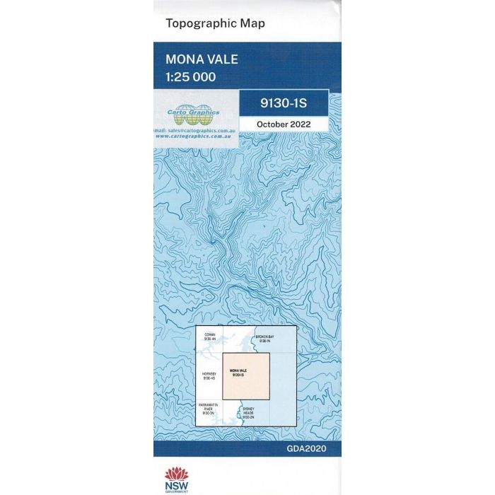
Mona Vale, 9130-1S, 1:25,000 scale (4cm=1km) topographic map covering Sydney's northern beaches from Dee Why to Avalon including Narabeen Lagoon, McCarrs Creek, Scotland Island and southern Pittwater.
In stock
SKU
9130-1S
$16.70


Related Products
Check items to add to the cart or
| Publisher | LPI |
|---|---|
| Description | Mona Vale 1:25,000 scale topographic map, 9130-1S, Geopdf edition 2022, NSW Spatial Services. This map can be laminated for extra durability in the field. |
Write Your Own Review