Millthorpe Topographic Map - 8731-3S
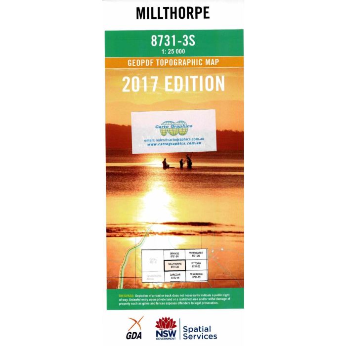
Millthorpe, 8731-3S, 1;25,000 scale topographic map covering the Millthorpe district from Greghamstown and Guyong in the east through Spring Hill and Springside to Cadia and Canobolas State Forest in the west.
In stock
SKU
8731-3S
$16.70


Related Products
Check items to add to the cart or
| Publisher | LPI |
|---|---|
| Description | Millthorpe Topographic Map, 8731-3S, 1:25,000 scale, Geopdf edition 2017, NSW Spatial Services. This map may be laminated for extra durability in the field. |
Write Your Own Review