Heysen Trail Planning Map Bundle
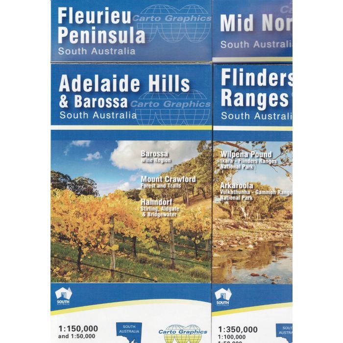
Heysen Trail Planning Map Bundle. A collection of four regional maps from Carto Graphics, which together cover the full length of the Heysen Trail allowing easy adventure planning.
In stock
SKU
CG Heysen
$40.00


Related Products
Check items to add to the cart or
| Publisher | Carto Graphics |
|---|---|
| Description | South Australia’s 1,200km Heysen Trail extends from Cape Jervis, on the Fleurieu Peninsula, to Parachilna Gorge, in the Flinders Ranges, traversing coastal areas, native bushland, rugged gorges, pine forests, vineyards, rich farmland and historic towns. It caters for both the serious backpacker hiking the entire trail and for walkers doing day walks along shorter sections. This collection of four regional maps assists the adventurer to plan their walk, be it day, weekend or longer journey. Fleurieu Peninsula - covering Cape Jervis to Lobethal with detailed inset maps for Deep Creek National Park and Kuitpo Forest. Adelaide Hills - covering Strathalbyn to Kapunda with detailed inset maps for Mount Crawford Forest and Barossa Valley. Mid North - covering Kapunda to Quorn with detailed inset Maps for Bundaleer Forest, Wirrabara Forest and Mount Remarkable National Park. Flinders Ranges - covering Orroroo to Arkaroola with detailed insets for Quorn region and Wilpena Pound. |
Write Your Own Review