Heysen Trail Map 1 - Cape Jervis to Kuitpo
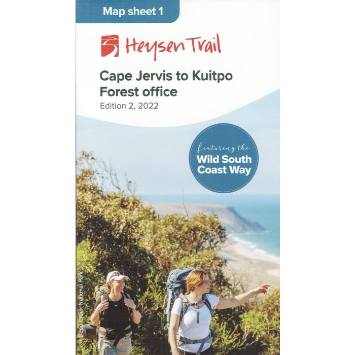
Heysen Trail Map Sheet 1 - Cape Jervis to Kuitpo - This 1:50,000 scale double-sided topographic map covers the southernmost 160km section of the Heysen Trail along the South Coast and into the southern Fleurieu Peninsula. This new 2nd edition now features the newly declared Wild South Coast Way.
In stock
SKU
H1
$15.00

Related Products
Check items to add to the cart or
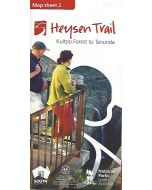
| Description | Heysen Trail Map Sheet 1 - Cape Jervis to Kuitpo - 2nd edition, 2022. This 1:50,000 scale double-sided topographic map covers the southernmost 160km section of the Heysen Trail in sectional maps with associated elevation profiles. This trail section features spectacular coastlines, native bushland, pine plantations and farmland. Wildlife, native flora,and changing scenic views are encountered as the trail traverses beaches, ranges, river valleys, country roads, and rolling hills of the Southern Fleurieu Peninsula. The first of eight maps in the series; Map 1 - Cape Jervis to Kuitpo Map 2 - Kuitpo to Tanunda Map 3 - Tanunda to Burra Map 4 - Burra to Spalding Map 5 - Spalding to Wirrabara Forest Map 6 - Wirrabara Forest to Dutchmans Stern Map 7 - Dutchmans Stern to Mernmerna Creek Map 8 - Mernmerna Creek to Parachilna Gorge |
|---|
Write Your Own Review