Gospers Mountain Topographic Map - 8931-1N
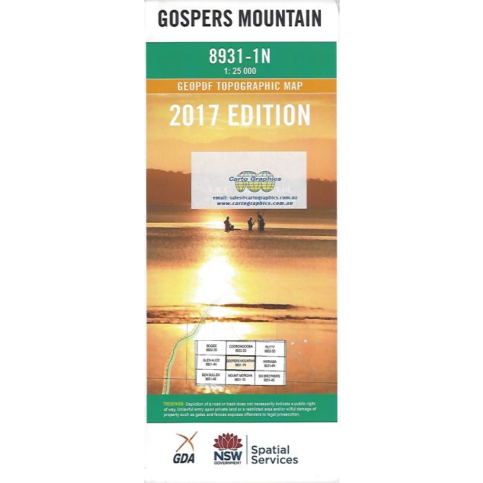
Gospers Mountain, 8931-1N, 1:25,000 scale (4cm=1km) NSW topographic map covering Coorongooba Creek catchment area in Wollemi National Park north of Glen Davis.
In stock
SKU
8931-1N
$16.70


Related Products
Check items to add to the cart or


| Publisher | LPI |
|---|---|
| Description | Gospers Mountain 1:25,000 scale NSW topographic map, 8931-1N, Geopdf edition, 2017, LPI NSW. This map can be laminated and refolded for extra durability in the field. |
Write Your Own Review