Yerranderie Topographic Map - 8929-4N
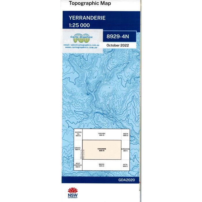
Yerranderie, 8929-4N, 1:25,000 scale topographic map covering the Kowmung River valley in Kanangra-Boyd and Blue Mountains National Parks, including Yerranderie townsite, Scotts Main Range Trail and Uni Rover Trail.
In stock
SKU
8929-4N
$16.70


Related Products
Check items to add to the cart or
| Publisher | LPI |
|---|---|
| Description | Yerranderie 1:25,000 scale topographic map, 2022 Geopdf edition, LPI NSW. This map may be laminated for extra durability in the field. |
Write Your Own Review