Wagga Wagga Topographic Map - SI55-15
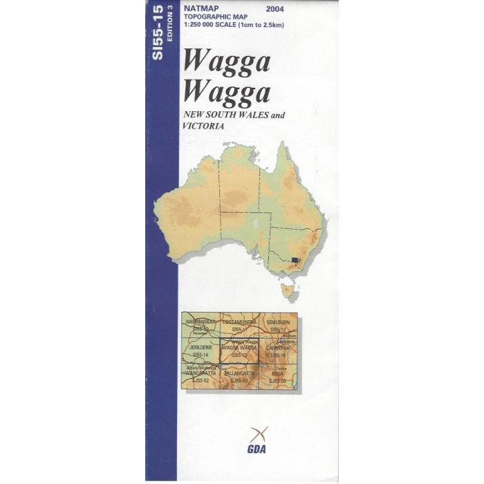
Wagga Wagga, SI55-15, 1:250,000 scale (4cm=10km) topographic map covering the area between Wagga Wagga, Gundagai, Cabramurra and Lake Hume including Holbrook, Tumut, Tumbarumba, Bago State Forest, Blowering Reservoir and western Kosciuszko National Park.
In stock
SKU
SI55-15
$9.75


Related Products
Check items to add to the cart or
| Publisher | Geoscience Australia |
|---|---|
| Description | Wagga Wagga 1:250,000 scale topographic map, SI55-15, 3rd edition, 2004, Geoscience Australia. Spatial Extent : N LAT: -35.0 W LONG: 147.0 S LAT: -36.0 E LONG: 148.5 Comments : This map is normally supplied as a folded version, contact us if you need a flat version. Series information: The series covers the whole of Australia with 513 maps at 1:250,000 scale Topographic Map (4cm=1km) Currency: Ranges from 1995 to 2012. 95% of maps have a reliability date of 1994 or later. Coordinates: Geographical and MGA ; Datum: GDA94, AHD; Projection: Universal Traverse Mercator (UTM) |
Write Your Own Review