Upper Turon Topographic Map - 8831-1N
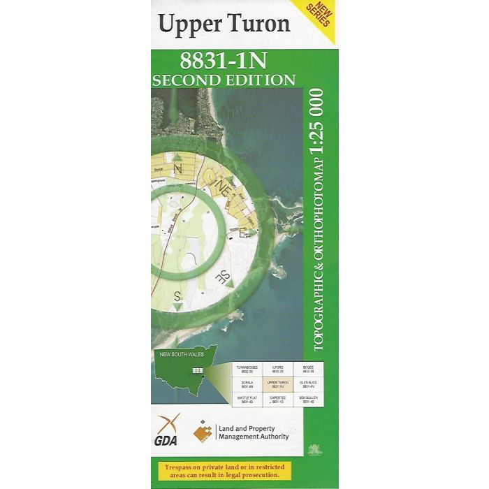
Upper Turon, 8831-1N, 1:25,000 scale NSW topographic map covering the area around Running Stream and Cherry Tree Hill extending to Mount Vincent, Turon River, Airly State Forest and Sandy Flat. Orthophoto map image on reverse side.
In stock
SKU
8831-1N
$16.70


Related Products
Check items to add to the cart or
| Publisher | LPI |
|---|---|
| Description | Upper Turon 1:25,000 scale topographic map and orthophoto, 8831-1N, 2nd edition, 2009, LPI NSW. |
Write Your Own Review