Underbool 50k Topographic Map - 7227-N
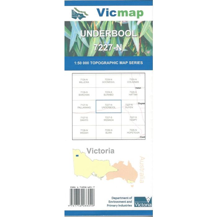
Underbool, 7227-N, 1:50,000 scale (2cm=1km) topographic map covering the Mallee Highway between Boinka, Linga, Underbool and Torrita; and extending north to Murray-Sunset National Park, including Lake Corbie and surrounds.
In stock
SKU
7227-N
$12.00


Related Products
Check items to add to the cart or
| Publisher | Vicmap |
|---|---|
| Description | Underbool 1:50,000 scale topographic map, 7227-N, 3rd edition, 2014, Vicmap. |
Write Your Own Review