Toondulya Topographic Map - 58331
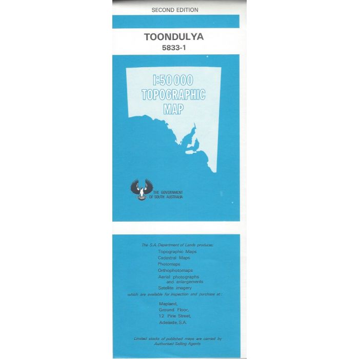
Toondulya, 5833-1, 1:50,000 scale South Australian topographic map covering the western end of Gawler Ranges on Eyre Peninsula including Winlippe Peak and Toondulya Bluff extending across to Woodford Tank and Pureba Conservation Park.
In stock
SKU
58331
$12.50

| Description | Toondulya 1:50,000 scale topographic map, 5833-1, 2nd edition, South Australia. |
|---|
Write Your Own Review