Tidbinbilla 25k Topographic Map 8627-2S
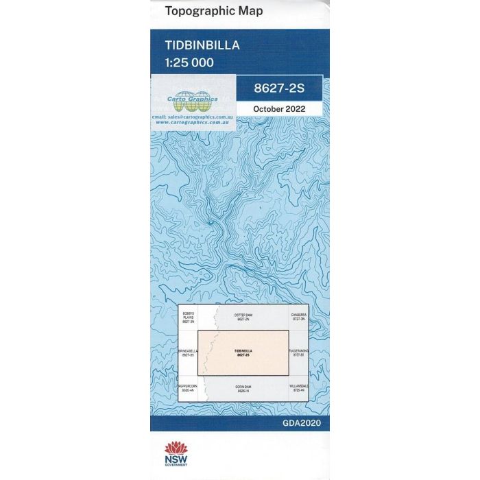
Tidbinbilla, 8627-2S, 1:25,000 scale (4cm=1km) topographic map covering part of Nadadgi National Park, Cotter River and Paddys River valleys, Tidbinbilla Tracking Station, Gibralta Falls and Bendora Dam in ACT, extending to Bimberi Nature Reserve in NSW.
In stock
SKU
8627-2S
$16.70


Related Products
Check items to add to the cart or
| Publisher | LPI |
|---|---|
| Description | Tidbinbilla 1:25,000 scale topographic map, 8627-2S, 2022 Geopdf edition, NSW Spatial Services. This map may be laminated for extra durability in the field. |
Write Your Own Review