The Nut Topographic Map - TH04
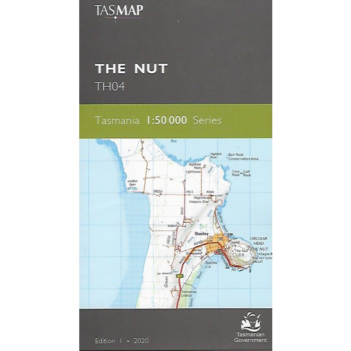
The Nut, TH04, 1:50,000 scale Tasmanian topographic map covering north coast from Smithton through Stanley to Hellyer and inland to Arthur River.
In stock
SKU
TH04
$12.95


| Publisher | Tasmap |
|---|---|
| Description | The Nut 1:50,000 scale topographic map, TH04, new series edition 1, 2020. Replaces old 1:25,000 maps; Stanley, Smithton, Lileah, Tayatea, Milabena, Mawbanna and Rocky Cape. |
Write Your Own Review