Talbingo Topographic Map - 8526-1N
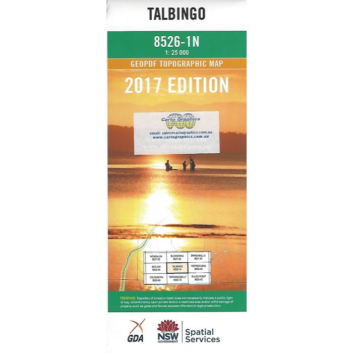
Talbingo, 8526-1N, 1:25,000 scale topographic map covering part of Blowering Reservoir, Jounama Pondage, Talbingo town, Talbingo Dam wall and power station, part of Bago State Forest and Kosciuszko National Park east to Goobragandra Powerline Road.
In stock
SKU
8526-1N
$16.70


Related Products
Check items to add to the cart or

| Publisher | LPI |
|---|---|
| Description | Talbingo 1:25,000 scale topographic map, 8526-1N, Geopdf edition, 2017, LPI NSW. This map can be laminated and refolded for extra durability in the field. |
Write Your Own Review