Tabletop Topographic Map - SF51-11
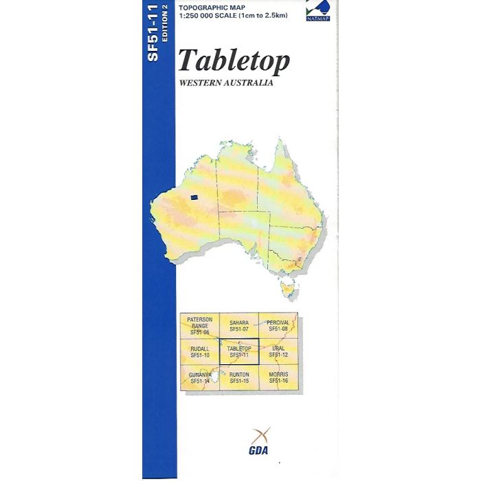
Tabletop, SG51-11, 1:250,000 scale topographic map covering Canning Stock Route from Well 25 to Well 31, Lake Auld and Wapet Road (Kidston Track) west to Punmu in the Great Sandy Desert, Western Australia.
In stock
SKU
SF51-11
$9.75


Related Products
Check items to add to the cart or
| Publisher | Geoscience Australia |
|---|---|
| Description | Tabletop 1:250,000 scale topographic map, SF51-11, Ed 2,2003. Spatial Extent : N LAT: -22.0 W LONG: 123.0 S LAT: -23.0 E LONG: 124.5 Comments : This map is normally supplied as a folded version, contact us if you need a flat version. Series information: The series covers the whole of Australia with 513 maps at 1:250,000 scale Topographic Map (4cm=1km) Currency: Ranges from 1995 to 2012. 95% of maps have a reliability date of 1994 or later. Coordinates: Geographical and MGA ; Datum: GDA94, AHD; Projection: Universal Traverse Mercator (UTM) |
Write Your Own Review