Rock Hill Topographic Map - 8931-2N
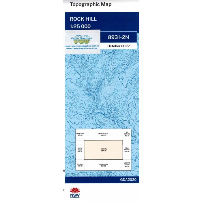
Rock Hill, 8931-2N, 1:25,000 scale (4cm=1km) topographic map covering part of Blue Mountains National Park and Wollemi National Park uincluding Mount Cameron Walking Trail, Nayook Creek and Galah Mountain.
In stock
SKU
8931-2N
$16.70


Related Products
Check items to add to the cart or

| Publisher | LPI |
|---|---|
| Description | Rock Hill 1:25,000 scale topographic map, 8931-2N, Geopdf edition, 2022, LPI NSW. This map can be laminated and refolded for extra durability in the field. |
Write Your Own Review