Pondalowie 50k Topographic Map - 62271
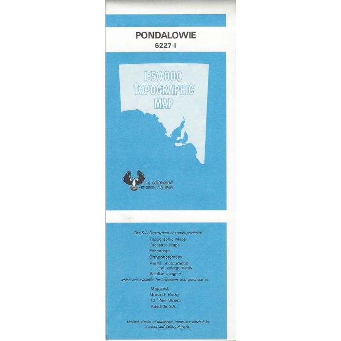
Pondalowie, 6227-1, 1:50,000 scale (2cm=1km) topographic map covering Marion Bay, part of Innes National Park including Pondalowie Bay camping area, Browns Beach, Gym Beach and North to Gleesons Landing on Yorke Peninsula's West Coast.
In stock
SKU
62271
$12.50

| Description | Pondalowie 1:50,000 scale topographic map, 6227-1, 1st edition, 1980. |
|---|
Write Your Own Review