Mount Bannerman Topographic Map - SE52-13
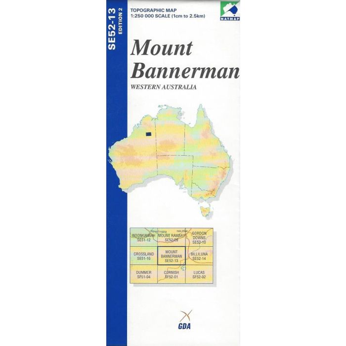
Mount Bannerman, SE52-13, 1:250,000 scale topographic map covering and area of Great Sandy Desert, Western Australia, between Sturt Creek and Christmmas Creek including art of the Canning Stock Route.
In stock
SKU
2264
$9.75


Related Products
Check items to add to the cart or
| Publisher | Geoscience Australia |
|---|---|
| Description | Mount Bannerman 1:250,000 scale topographic map, SE52-13, 2nd edition, 2003, Geoscience Australia. |
Write Your Own Review