Monga Topographic Map - 8826-1N
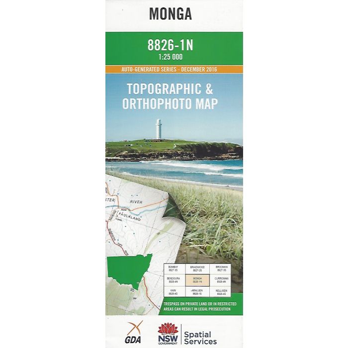
Monga, 8826-1N, 1:25,000 scale topographic map covering Monga National Park, Majors Creek State Conservation Area, including Corn Trail, Burma McCarthys Walk and Majors Creek Falls. Orthophoto map image on reverse side.
In stock
SKU
8826-1N
$16.70


Related Products
Check items to add to the cart or
| Publisher | LPI |
|---|---|
| Description | Monga 1:25,000 scale topographic map and orthophoto, 8826-1N, LPI NSW, 2016. |
Write Your Own Review