Milang 50k Topographic Map - 66272
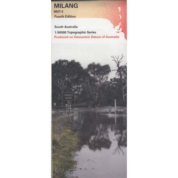
Milang, 6627-2, 1:50,000 scale (2cm=1km) topographic map covering the area between Strathalbyn, Langhorne Creek, Milang, Clayton Bay and Goolwa including Currency Creek and Finnis River on South Australia's Fleurieu Peninsula.
In stock
SKU
66272
$12.50


| Publisher | Geoscience Australia |
|---|---|
| Description | Milang 1:50,000 scale topographic map, 6627-2, 4th edition, 2001. |
Write Your Own Review