Mambray Topographic Map - 64322
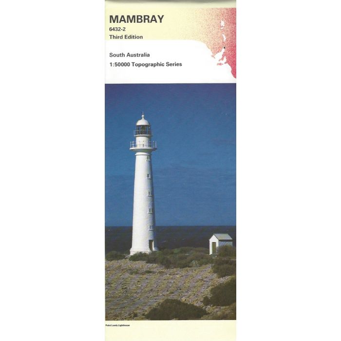
Mambray, 6432-2, 1:50,000 scale topographic map covering Port Germein, Baroota, Mambray Creek (NOT campground), and Winninowie Conservation Park on the eastern side of Spencer Gulf and Point Lowly to Blanche Harbour Aquatic Reserve on the western side.
In stock
SKU
64322
$12.50

Related Products
Check items to add to the cart or
| Description | Mambray 1:50,000 scale topographic map, 6432-2, 3rd edition, South Australia. |
|---|
Write Your Own Review