Mallacoota Merimbula Adventure Map
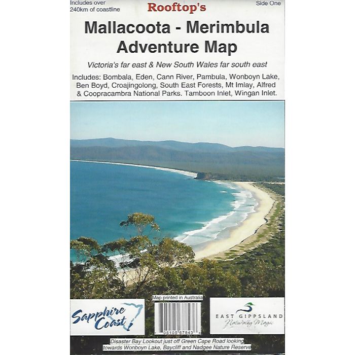
Detailed map extending over 250km of coastline and inland from Merimbula in NSW to Cann River in Victoria including Bombala, Eden, Pambula, Wonboyn Lake, South East Forests, Nadjee Wilderness, Mt Imlay, Croajingalong National Park and Tamboon Inlet.
In stock
SKU
RT Malla
$12.95


Related Products
Check items to add to the cart or
| Publisher | Rooftop Maps |
|---|---|
| Description | Mallacoota Merimbula Adventure Map - Rooftop Maps. Covering the south east corner of Australia in NSW and Victoria and suitable for the 4WD explorer and regional tourist. Extensive track notes. 1:100,000 scale with more detailed inset map of Mallacoota Inlet. |
Write Your Own Review