Lerderderg & Werribee Gorges - Meridian Maps
Lerderderg & Werribee Gorges Map
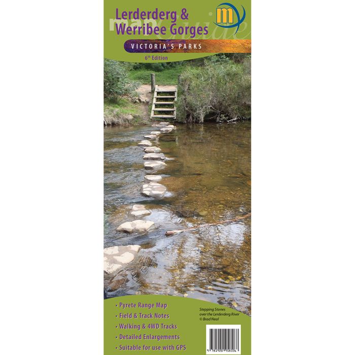
1:30,000 scale topographic map of the Lerderderg State Park and 1:20,000 map of Werribee Gorge State Park with a 1:15,000 enlargement of the Blackwood to O’Briens Crossing area.
In stock
SKU
LerdMer
$10.95


| Publisher | Meridian Maps |
|---|---|
| Description | Lerderderg & Werribee Gorges Map 1:30,000 scale topographic map of the Lerderderg State Park and 1:20,000 map of Werribee Gorge State Park, with a 1:15,000 enlargement of the Blackwood to O’Briens Crossing area. New edition includes a 1:55,000 map of the Pyrete Range. Map includes 13 walk notes as well as notes on the parks history, wildlife and activities available in the parks. Features the Emergency Marker Co-ordinates for the Lerderderg and Werribee Gorge State Paks and all tourist attractions in and around the parks. Ideal for bushwalkers, day-trippers and 4 wheel-drivers. |
Write Your Own Review