Lake Tandou Topographic Map 100k - 7332
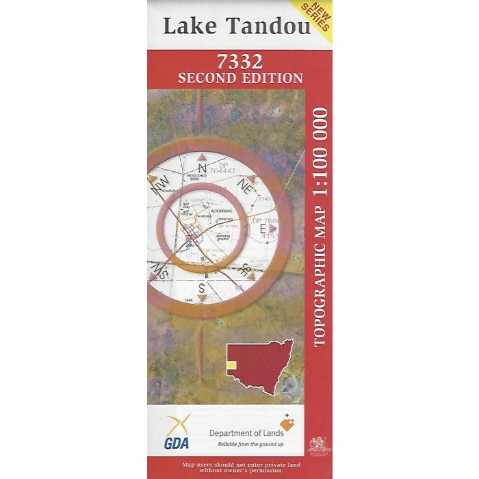
Lake Tandou, 7332, 1:100,000 scale (1cm=1km) topographic map covering an area between the Darling River and Great Darling Anabranch including southern part of Kinchega National Park, Tandou Creek, and Bono, Tandou, Harcourt and Wycot stations in far western NSW.
In stock
SKU
7332
$16.70


| Publisher | LPI |
|---|---|
| Description | Lake Tandou 1:100,000 scale topographic map' 7332, 2nd edition, 2000. |
Write Your Own Review