Kaputar Topographic Map - 8937-3N
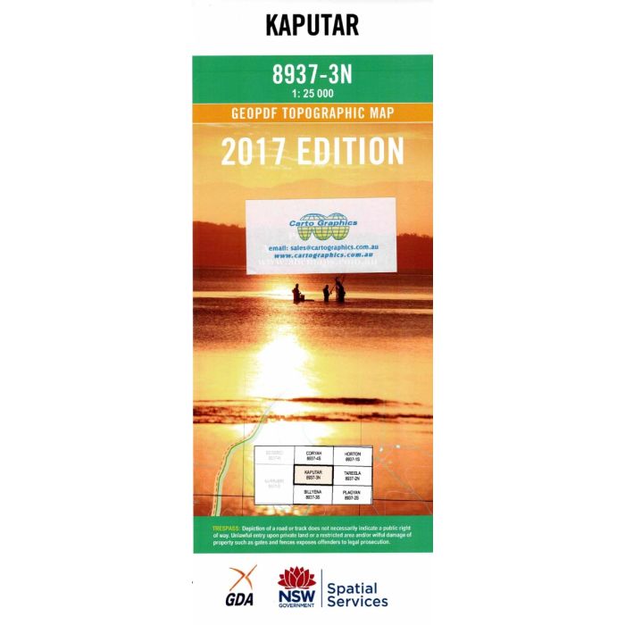
Kaputar, 8937-3N, 1:25,000 scale (4cm1km) topographic map covering the central part of Mount Kaputar National Park in the Nandewar Ranges, including Horton River headwaters, Mount Dowe, Deriah Mountain and Yulludunida Crater.
In stock
SKU
8937-3N
$16.70


Related Products
Check items to add to the cart or
| Publisher | LPI |
|---|---|
| Description | Kaputar 1:25,000 scale topographic map, 8937-3N, 2017 Geopdf edition, LPI NSW. This map may be laminated for extra durability in the field. |
Write Your Own Review