Illogwa Creek Topographic Map - SF53-15
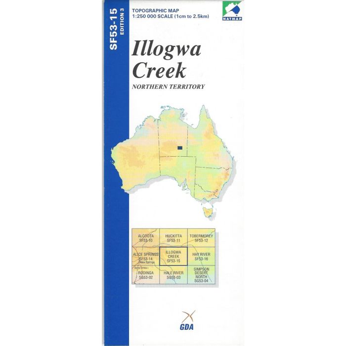
Illogwa Creek, SF53-15, 1:250,000 scale topographic map covering the fringe of the East Macdonnell Ranges including Harts Range and the Simpson Desert.
In stock
SKU
SF53-15
$9.75


Related Products
Check items to add to the cart or
| Publisher | Geoscience Australia |
|---|---|
| Description | Illogwa Creek 1:250,000 scale topographic map, SF53-15, Ed3, 2002, Geoscience Australia NATMAP. |
Write Your Own Review