Heysen Trail Map 4 - Burra to Spalding
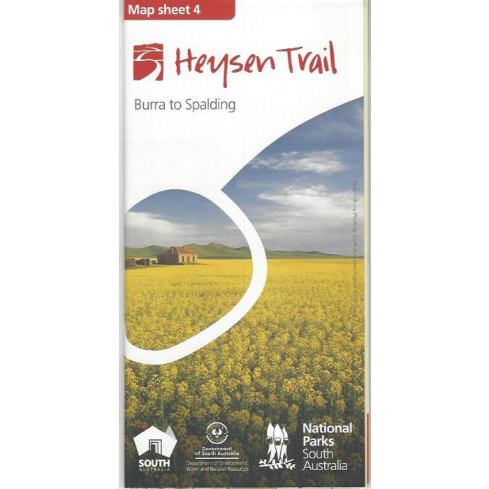
Heysen Trail Map Sheet 4 - Burra to Spalding. Heysen This 1:50,000 scale double-sided topographic map covers a 130km section of the Heysen Trail across the northern Mt Lofty Ranges with three sectional maps and associated elevation profiles.
Printed on durable, waterproof and environmentally friendly 'Stone Paper'. 840mm x 590mm folded to 210mm x 100mm
In stock
SKU
H4
$15.00

| Description | Heysen Trail Map Sheet 4 - Burra to Spalding. A challenging section of 130km through rugged hills and remote bush tracks into Caroona Creek Conservation Park and back out into the 'softer' agricultural country to Spalding. Map 1 - Cape Jervis to Kuitpo. Map 2 - Kuitpo to Tanunda. Map 3 - Tanunda to Burra. Map 4 - Burra to Spalding. Map 5 - Spalding to Wirrabara Forest. Map 6 - Wirrabara Forest to Dutchmans Stern. Map 7 - Dutchmans Stern to Mernmerna Creek. Map 8 - Mernmerna Creek to Parachilna Gorge. |
|---|
Write Your Own Review