Glen Gallic Topographic Map - 9032-4N
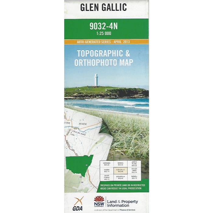
Glen Gallic, 9032-4N, 1:25,000 scale topographic map covering Martindale Creek valley and the Glen Gallic Trail through Wollemi National Park. Orthophoto map image on reverse side.
In stock
SKU
9032-4N
$16.70


Related Products
Check items to add to the cart or

| Publisher | LPI |
|---|---|
| Description | Glen Gallic 1:25,000 scale topographic map and orthophoto, 9032-4N, LPI NSW, 2013. |
Write Your Own Review