Five Day Creek Topographic Map - 9336-1S
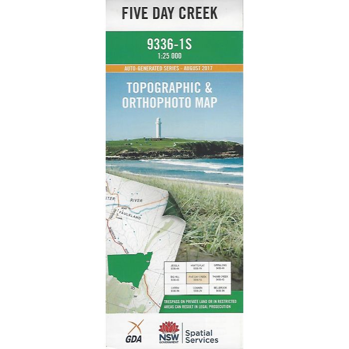
Five Day Creek, 9336-1S, 1:25,000 scale topographic map covering wilderness area to the north east of Macleay River including Dyke River, New England National Park, Five Day Trail, Five Day Creek, Nulla Nulla Creek and Carcolla. Orthophoto map image on reverse side.
In stock
SKU
9336-1S
$16.70


Related Products
Check items to add to the cart or
| Publisher | LPI |
|---|---|
| Description | Five Day Creek topographic map and orthophoto, 9336-1S, 2017, NSW Spatial Services. This map may be laminated and refolded for extra durability in the field. |
Write Your Own Review